the rural idyll in the Minecraft universe
tea fields in Cameron Highlands, Malaysia
image source commons.wikimedia.org
by Will Ellis
source
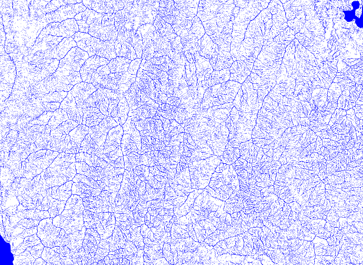
Alasdair Rae (formerly) at
the University of Sheffield


Segway polo image source
commons.wikimedia.org
by Braden Kowitz
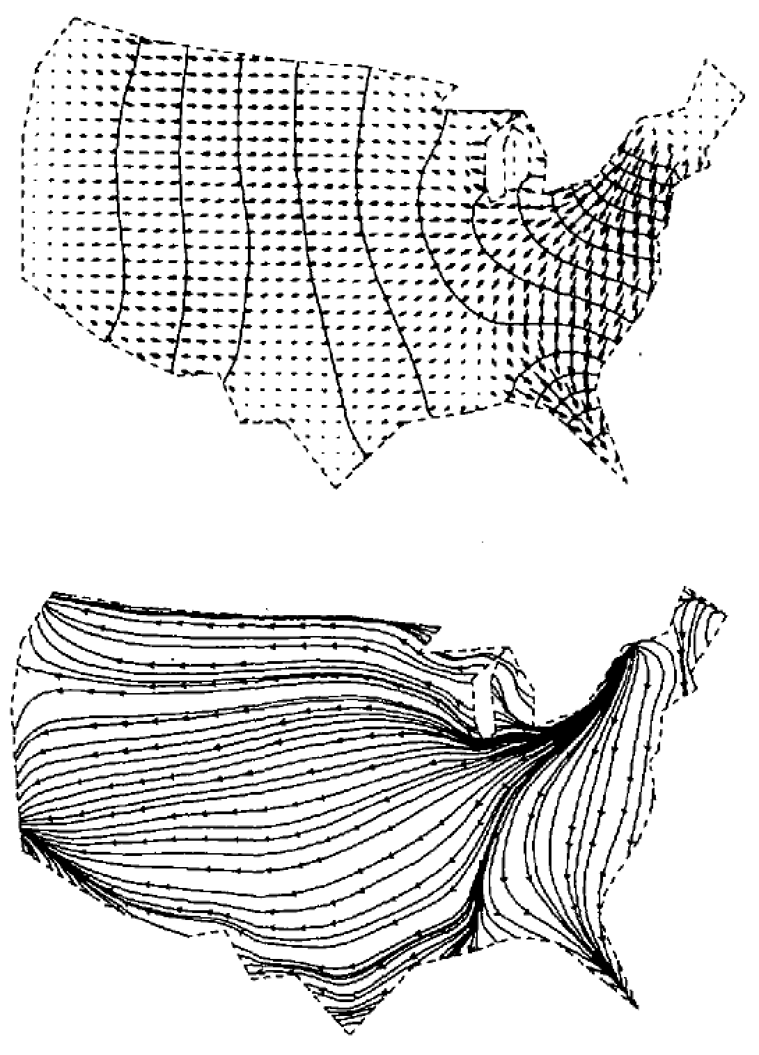
©Stan Openshaw
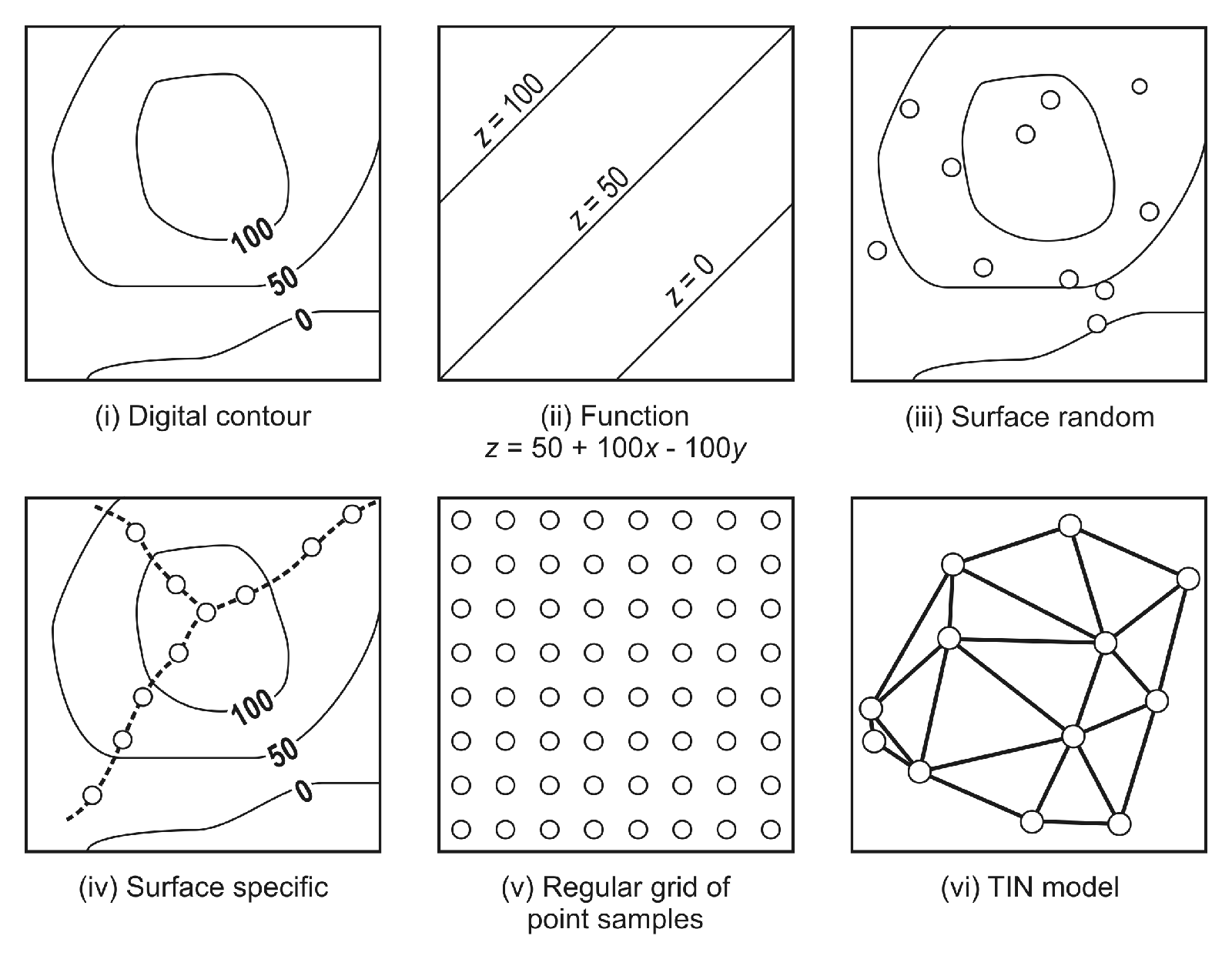
image source commons.wikimedia.org

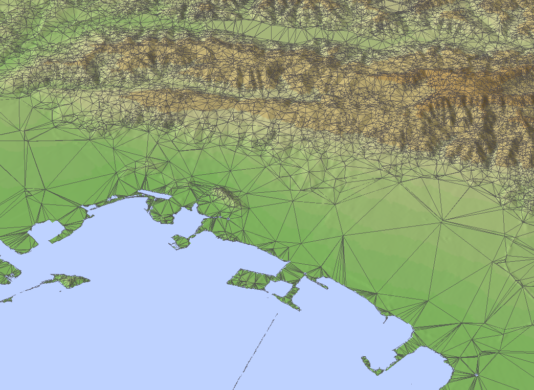

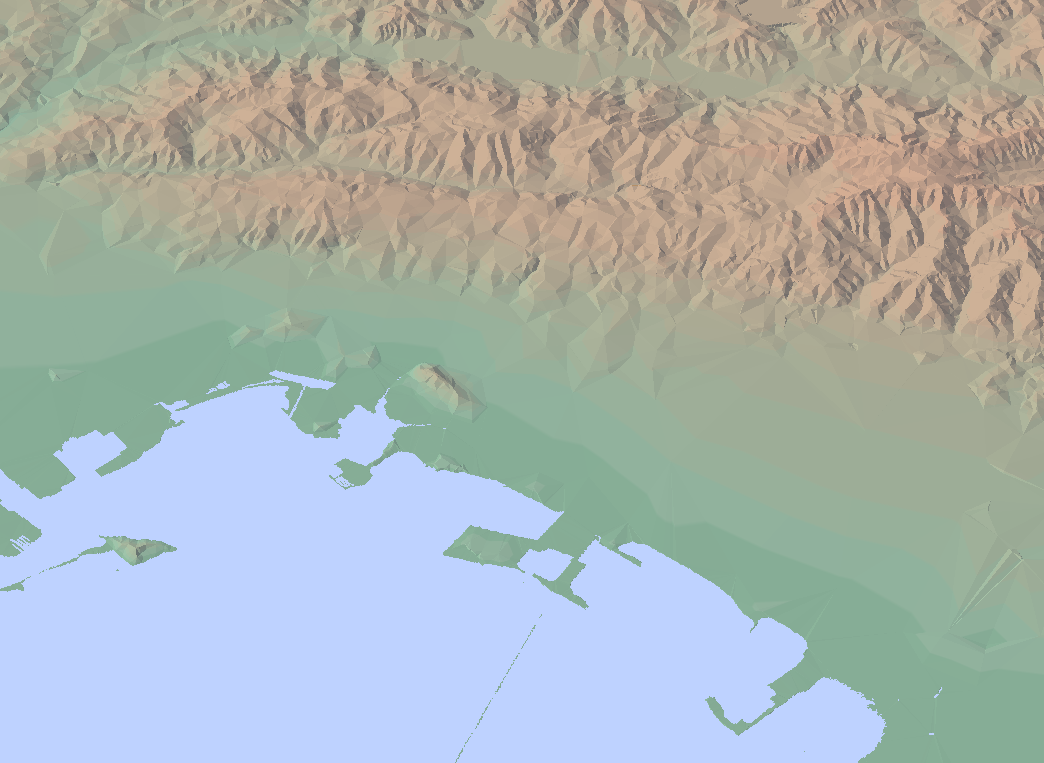
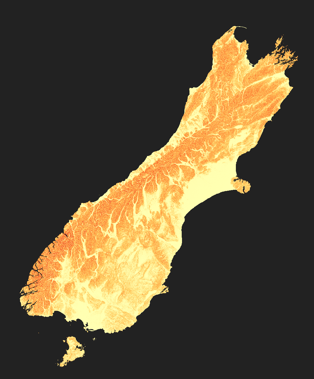
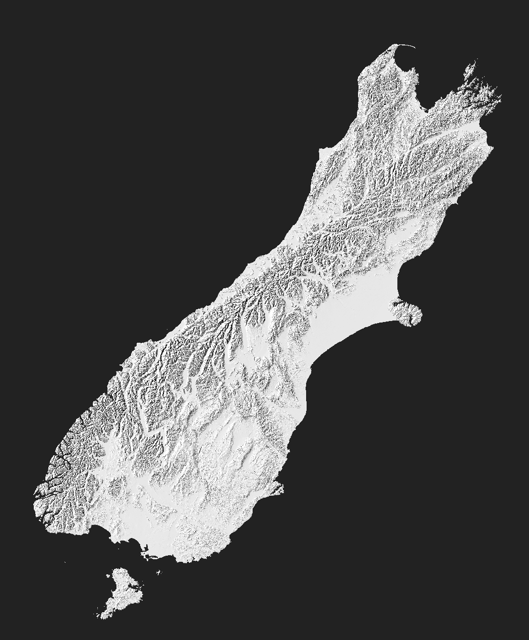
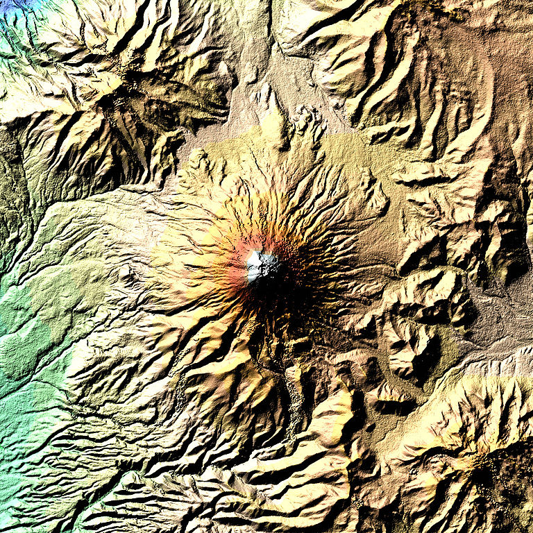
Mt Ruapehu hillshade made
using terra::shade function