
What is ALGIM? According to the website,
ALGIM is all about bringing people and technology together to deliver better local government services
and
provides professional development and thought leadership across a range of local government professions. Our roots are in ICT, but over the years we’ve expanded to encompass the traditional IT roles, IT infrastructure, web and digital, information and records management, customer service, and GIS.1
So ALGIM is a place where local government ICT people can pool resources and expertise to make the challenging business of doing local government a little bit easier. To that end ALGIM offers training, webinars, forums for the exchange of ideas. One of those forums is the annual conference.2
An industry conference not an academic conference
ALGIM’s annual conference is a showpiece event. This year the conference theme was ‘Driving collaboration’, approached from a range of perspectives. Topics such as AI in local government, standardisation of processes and plaforms, and fostering collaboration loomed large. There were interesting keynotes from an eclectic mix of people such as :Audrey Tang, Nicole Skews-Poole, Julian Moore, and Michael Baker.
But the ALGIM conference is certainly not an academic conference. I’m a veteran of those having attended 50 or so in the last two decades, and if you add in symposia, workshops, and sundry other varieties of academic meeting, a few more even than that. The rhythms of these are familiar: 20 minute talks in sessions an hour or two long, with breaks for refreshments, and (for the most part) not much connection to the world of work beyond the meeting. Obviously everyone participating is at work, and people gossip about work in the breaks, but the subject matter under discussion in sessions is not work itself, but scientific and scholarly questions of one kind or another.
Anyway, this was not that, but a rather different kind of event. It’s very much a networking meeting for people with shared professional interests3 and as such absolutely about work. I do have some previous experience of this kind of event4 and knew going in that in addition to keynotes and shorter presentations on more specialised topics, many technology vendors would be there hawking their wares, or perhaps more realistically simply reminding local government ICT managers that they exist, should they be considering revisiting their backup, comms, data security, disaster recovery, online payment systems, or whatever other ICT options.
Wot? No GIS?
And that, to a ‘GISer’, was the most interesting aspect. I fully expected to see all the usual local geospatial suspects here. Esri’s local representative Eagle Technology was present, albeit not in force (mostly they were handing out ice cream!), along with one or two others, such as GBS and local FME partner Seamless, but that was more or less it. No Koordinates, Catalyst, Orbica, Lynker Analytics, or LINZ.
Now… that might be because (i) nobody goes to a conference to buy enterprise GIS, or even to change their enterprise GIS plans, or (ii) Esri/Eagle’s position in GIS in local government in New Zealand is so strong that there isn’t much point in anybody else showing up. On the other hand, it might be because… well, because however often geospatial folks tell themselves (and anyone who will listen) that 80%—or some other high percentage!—of all data are spatial, and no matter how self-evidently spatial it seems that the job of local government might be, when it comes to information management in local government, GIS is not much of a thing.
And yet, GIS clearly is important in local government, even if it is treated as slightly peripheral by ICT managers.
What was I doing there anyway?
I was there to chair a panel discussion on current challenges/developments in geospatial (AI, digital twins, barriers to collaboration, convergence with data analytics, education and training), and to convene a ‘GIS Round Table discussion’.
Both sessions were interesting, although the panel discussion time frame was a little too short at only half an hour to really get into things with the excellent contributors Andrew Steffert from Horizons Regional Council, Kerri Gray from CreateBig, and Scott Campbell from Eagle.
But with all due deference to those experts, the Round Table was, I thought, more telling. It wasn’t very big with about a dozen in attendance, but it was fairly representative with ‘GIS officers’ (for want of a better term) from councils big and small. The striking thing was how quickly even this very limited forum became a source of support and consultation among the people around the table. The strong sense I got was of GIS officers overwhelmed by the numerous expectations around their role(s). There was also a sense, especially from smaller councils where there might be only one or two people ‘doing GIS’, that those people feel isolated with limited options to reach out for assistance. And so, within minutes of introductions, people were comparing notes on how others had approached various common tasks and what technologies or data resources they were using. There really is nothing quite like getting people in a room together for learning what their challenges are.
In short, however tacked on that “and GIS” might appear in ALGIM’s mission statement, the GIS officers in local government around New Zealand (and I imagine also Australia) seem more than ready to take advantage of whatever forums ALGIM might be able to offer for learning, exchanging ideas, sharing approaches, and collaborating. Hopefully, this can happen soon, since it doesn’t seem like the job of GIS officer in local government is going to get any easier any time in the near future!
PS Not forgetting
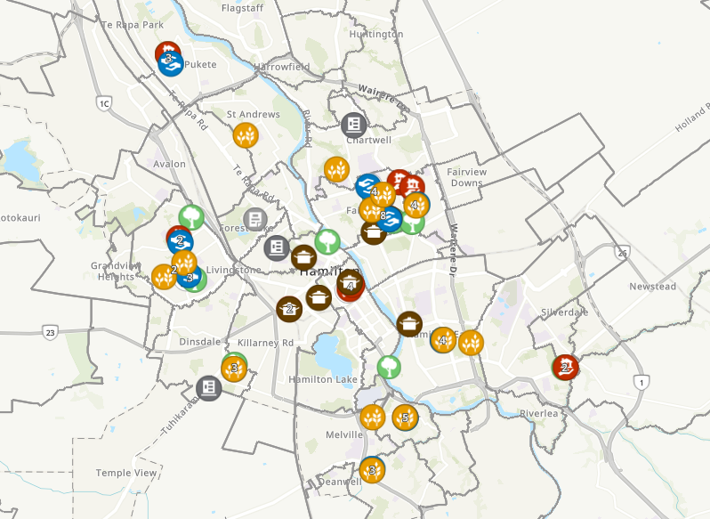
I would be remiss if I didn’t also mention seeing some really nice presentations of award nominated geospatial projects such as the Hamilton City Kai Map, Northland Regional Council’s use of geospatial to integrate the Health and Safety processes associated with their numerous fieldwork activities, and a Christchurch City map-centred streamling of their building warrant of fitness process (i.e., building inspections). The latter two are internal work process streamlining projects so unfortunately don’t have public websites I can link to.
![]()
Footnotes
Somebody always has to come last, but park that slightly tacked on feeling “and GIS” just for now…↩︎
ALGIM now also has an Australian branch, which will see the organisation grow substantially in the next few years.↩︎
Academic conferences are also that, but with a different emphasis.↩︎
As I’ve recounted elsewhere it was at a meeting like this that I chanced upon GIS. If you’re interested it’s mentioned about 2 minutes into this podcast.↩︎