Note: some posts show code that has been superseded. Code ran as written at last modified dates.

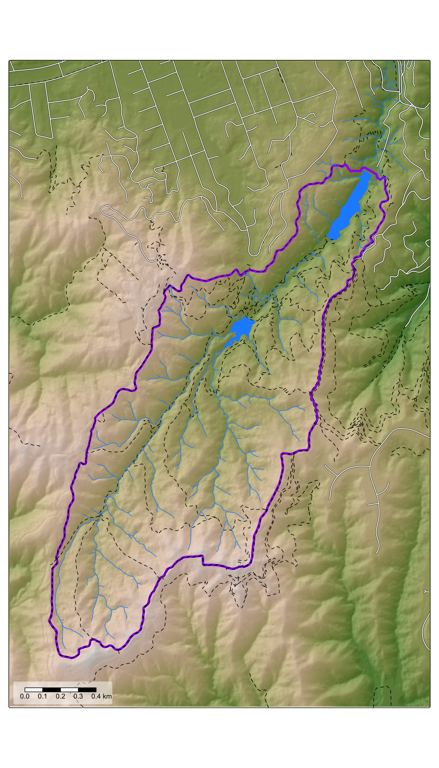
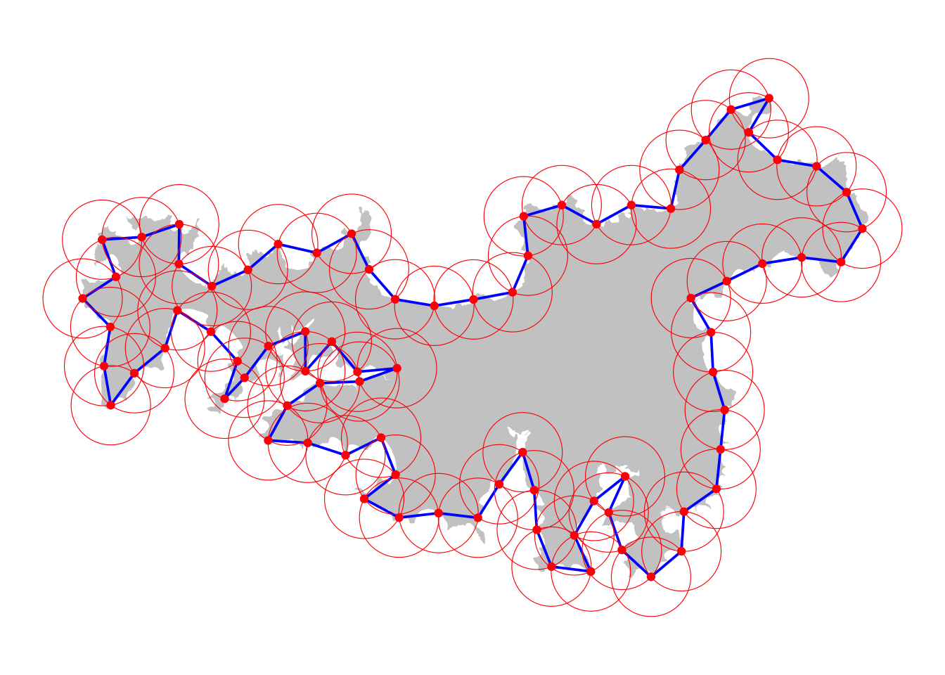
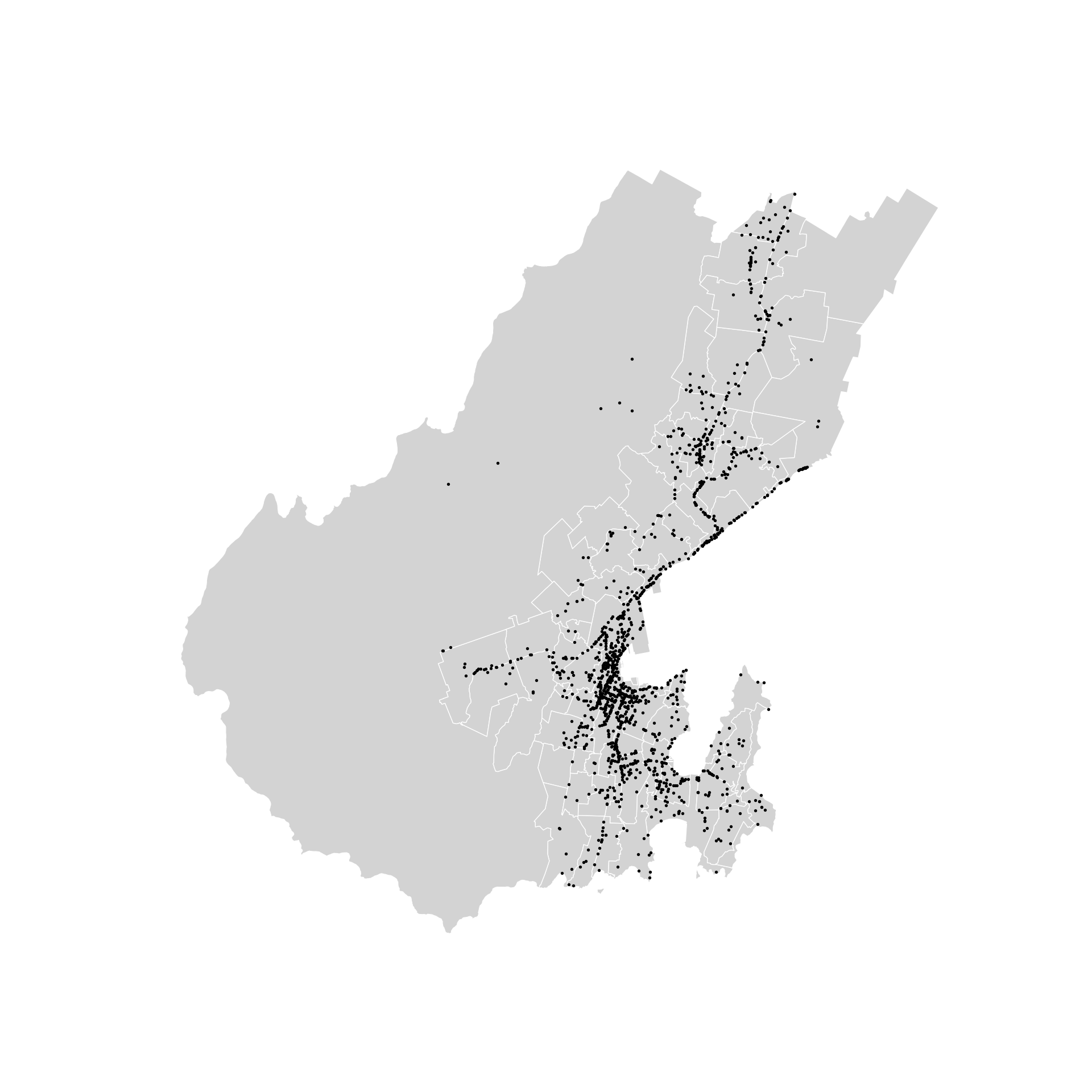
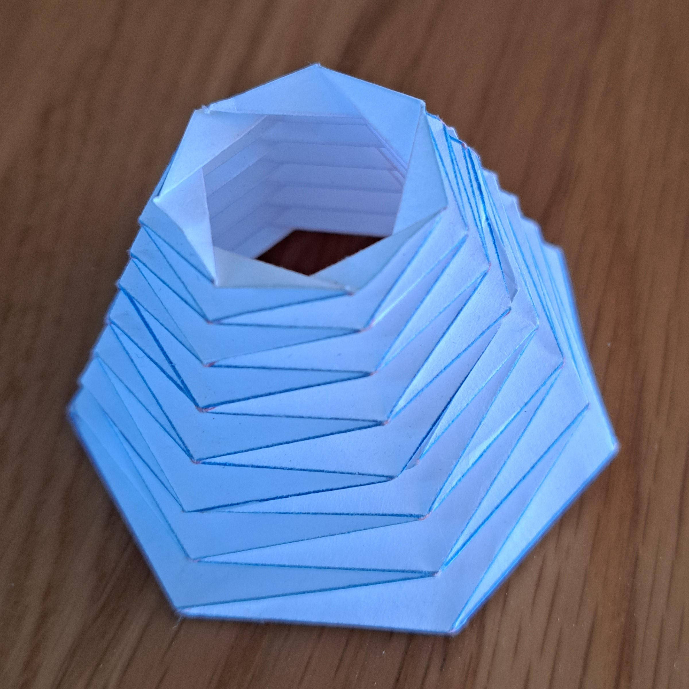
Into the void
R
tutorial
visualization
geospatial

30 Day Map Challenge 2025
30 day maps
origami
cartography
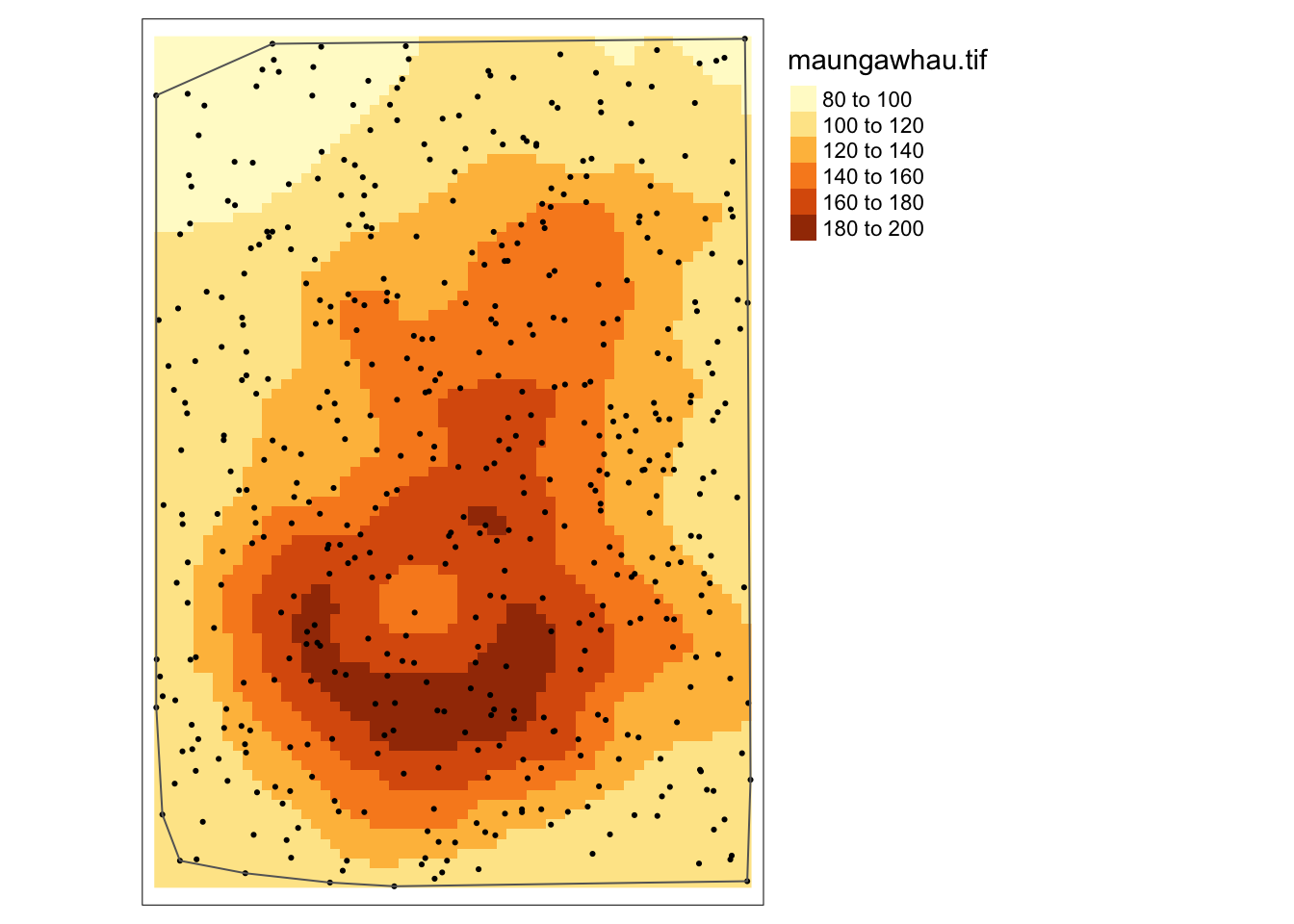
Spatial autocorrelation: what’s the problem?
geospatial
R
tutorial
geographic information analysis

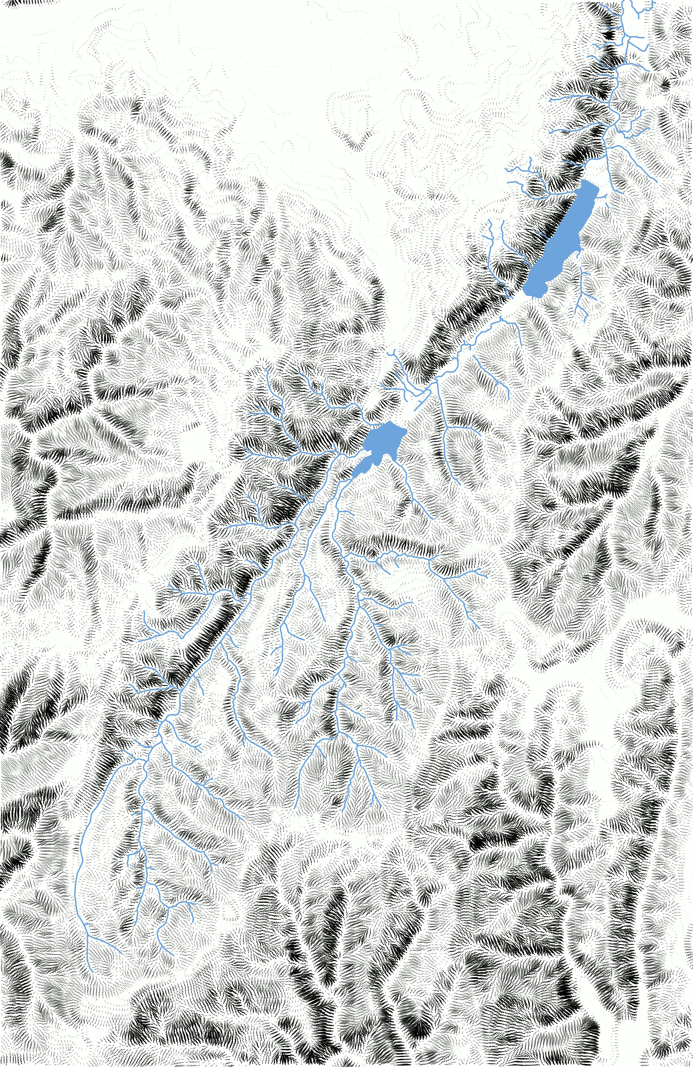

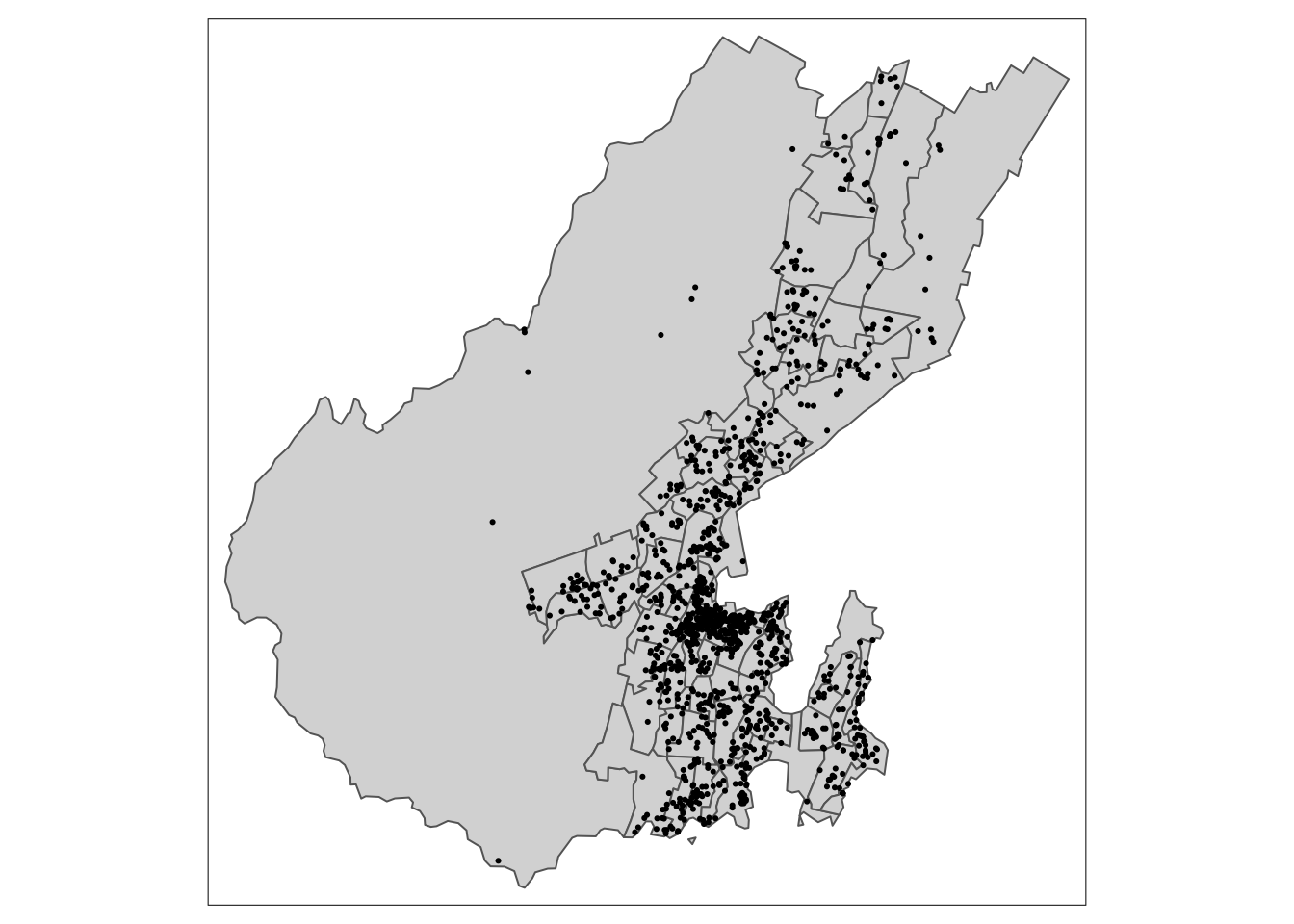
GIS, a transformational approach
geographic information analysis
transformational approach
geospatial
R
tutorial
30 day maps
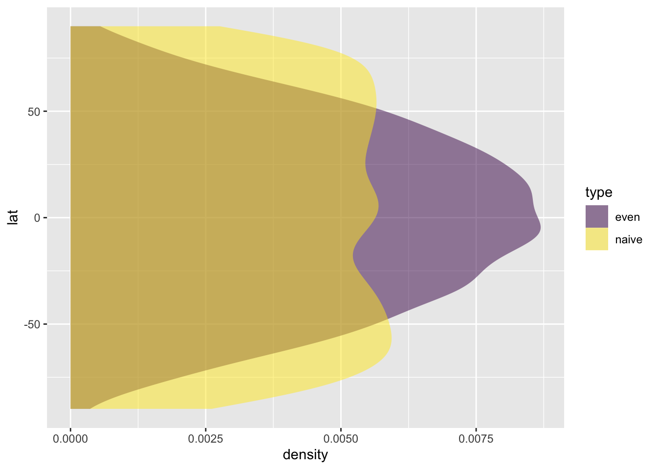
GIS, a transformational approach
geographic information analysis
transformational approach
geospatial
R
tutorial
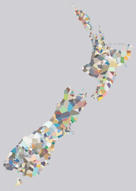
GIS, a transformational approach
geographic information analysis
transformational approach
geospatial
R
tutorial
GIS, a transformational approach
geographic information analysis
transformational approach
geospatial
R
tutorial
GIS, a transformational approach
geographic information analysis
transformational approach
geospatial
R
tutorial
GIS, a transformational approach
geographic information analysis
transformational approach
geospatial
R
tutorial
GIS, a transformational approach
geographic information analysis
transformational approach
geospatial
R
tutorial
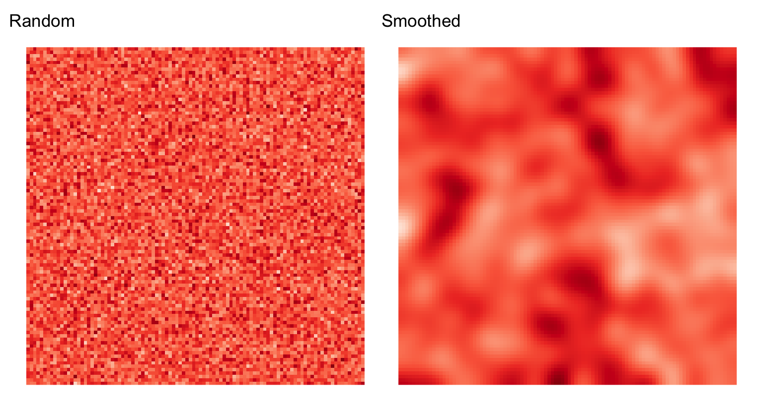
Raster really is faster
geographic information analysis
fractals
R
tutorial
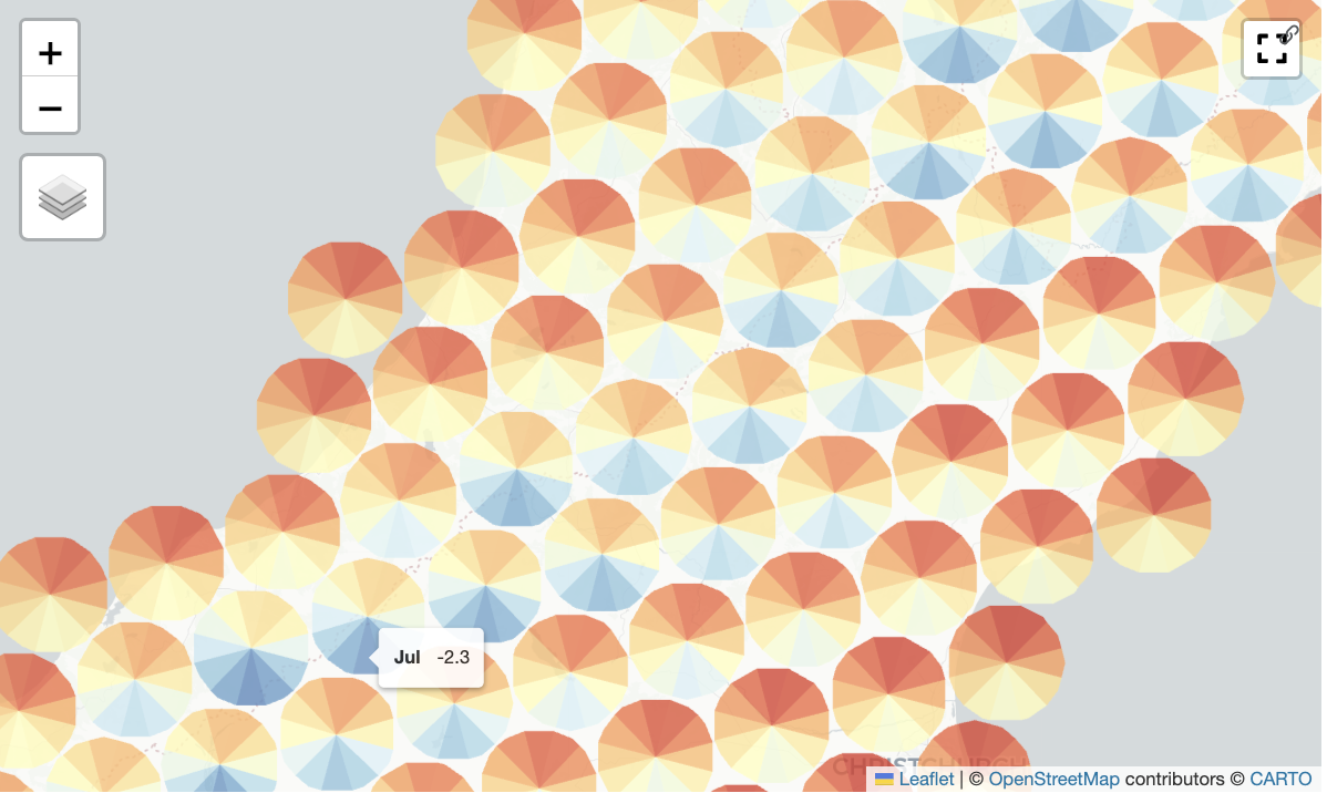
Mean temperature dials
python
tutorial
tiling
visualization
maps
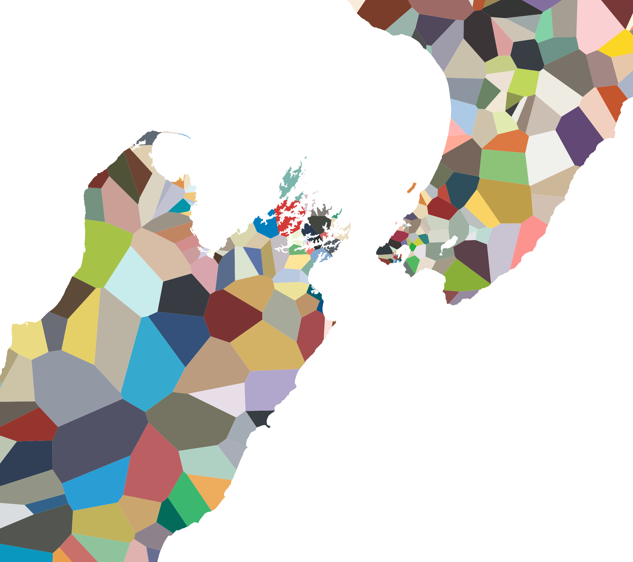
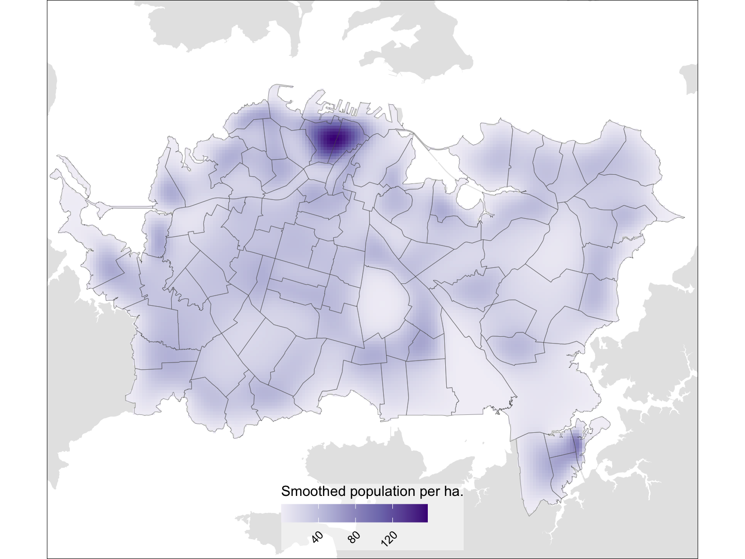
A population based binary space partition
geospatial
R
tutorial
aotearoa
population
cartography
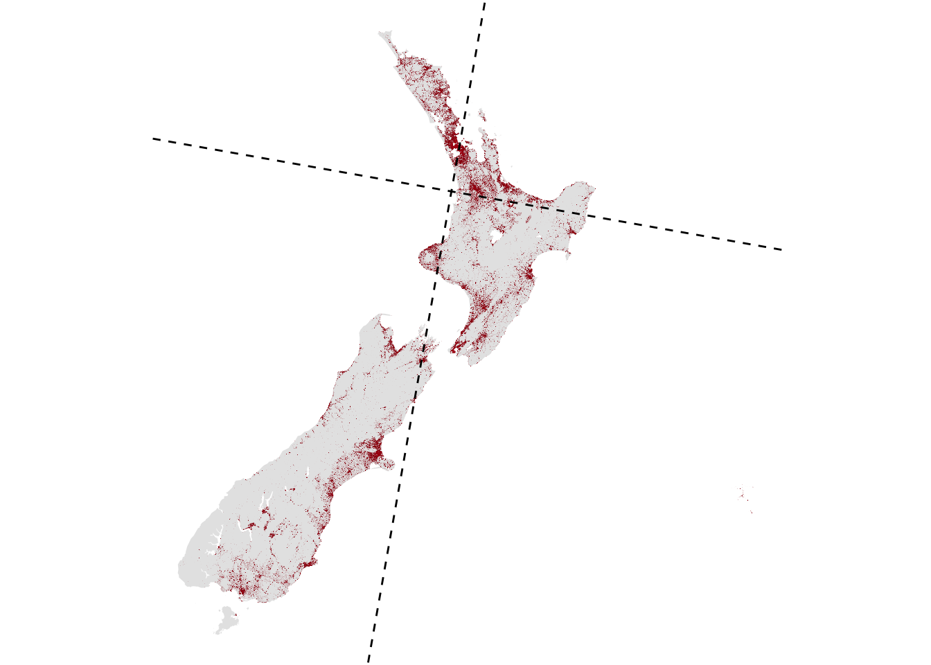
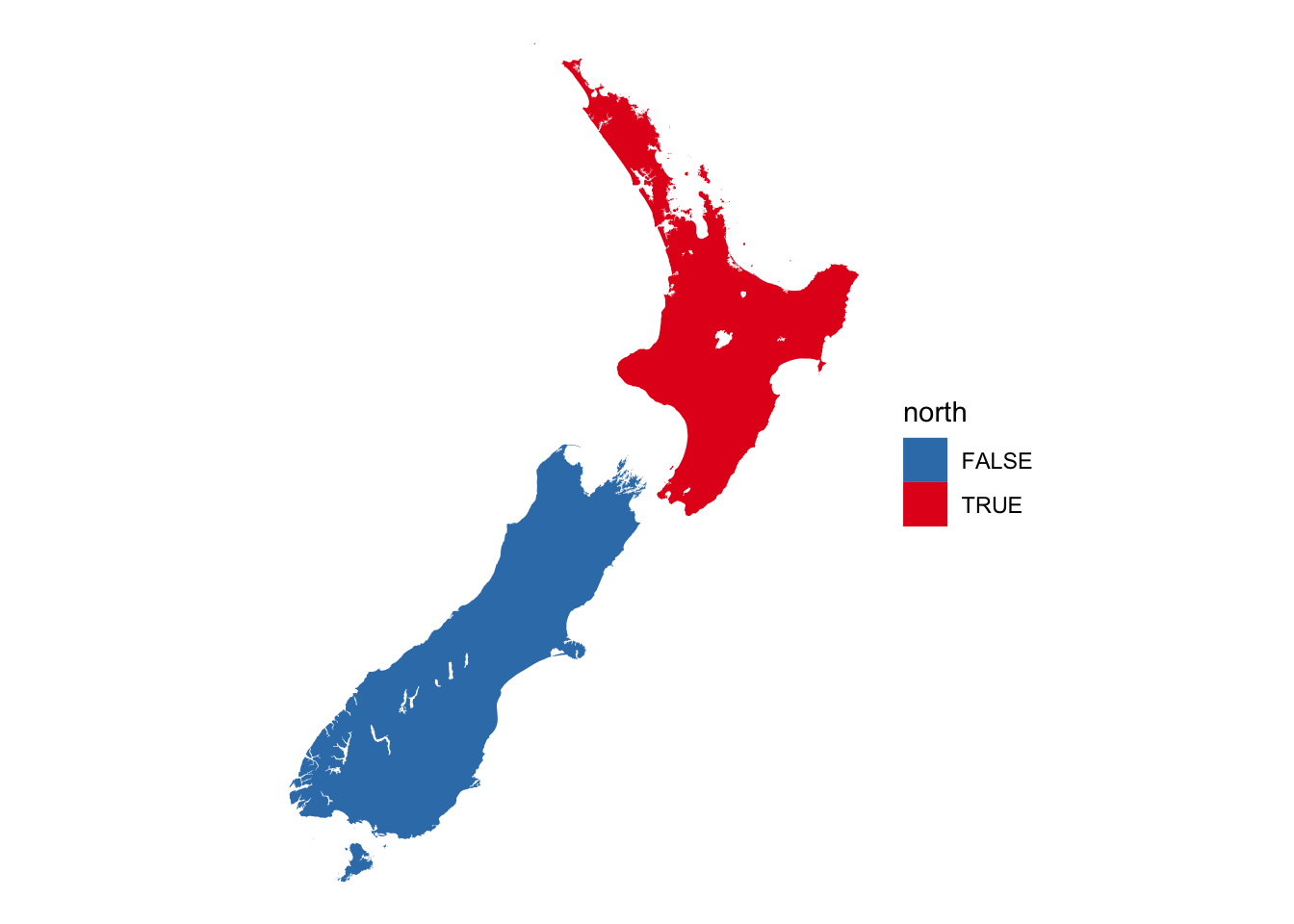
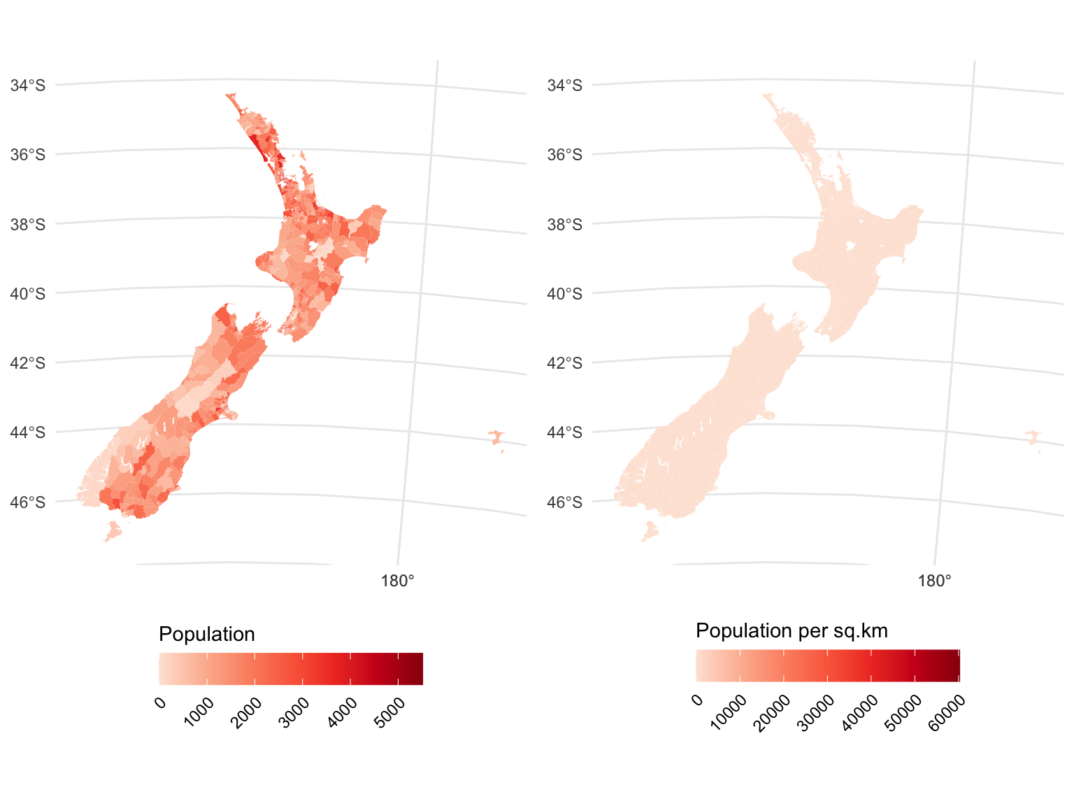
North-south or east-west islands?
geospatial
R
tutorial
stuff
aotearoa
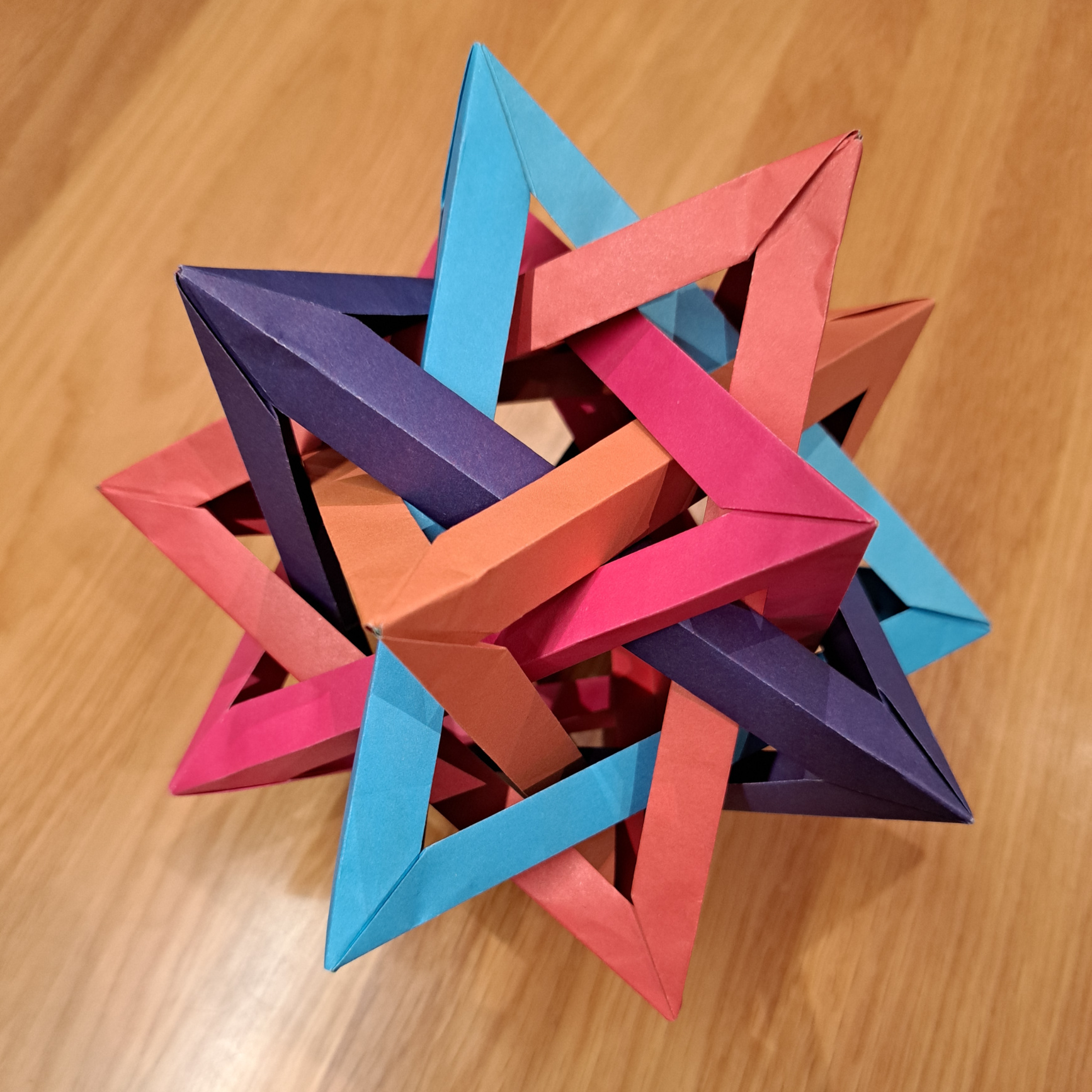
Look ma! (Almost) no javascript!
geospatial
python
maps
tiling
cartography
weaving
visualization
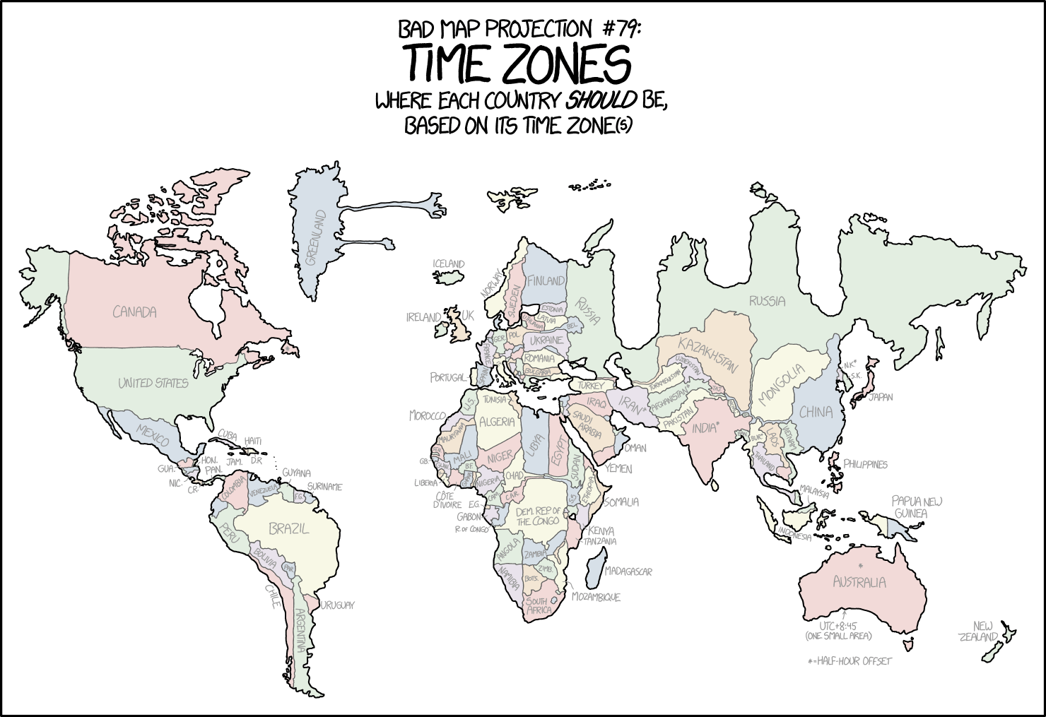
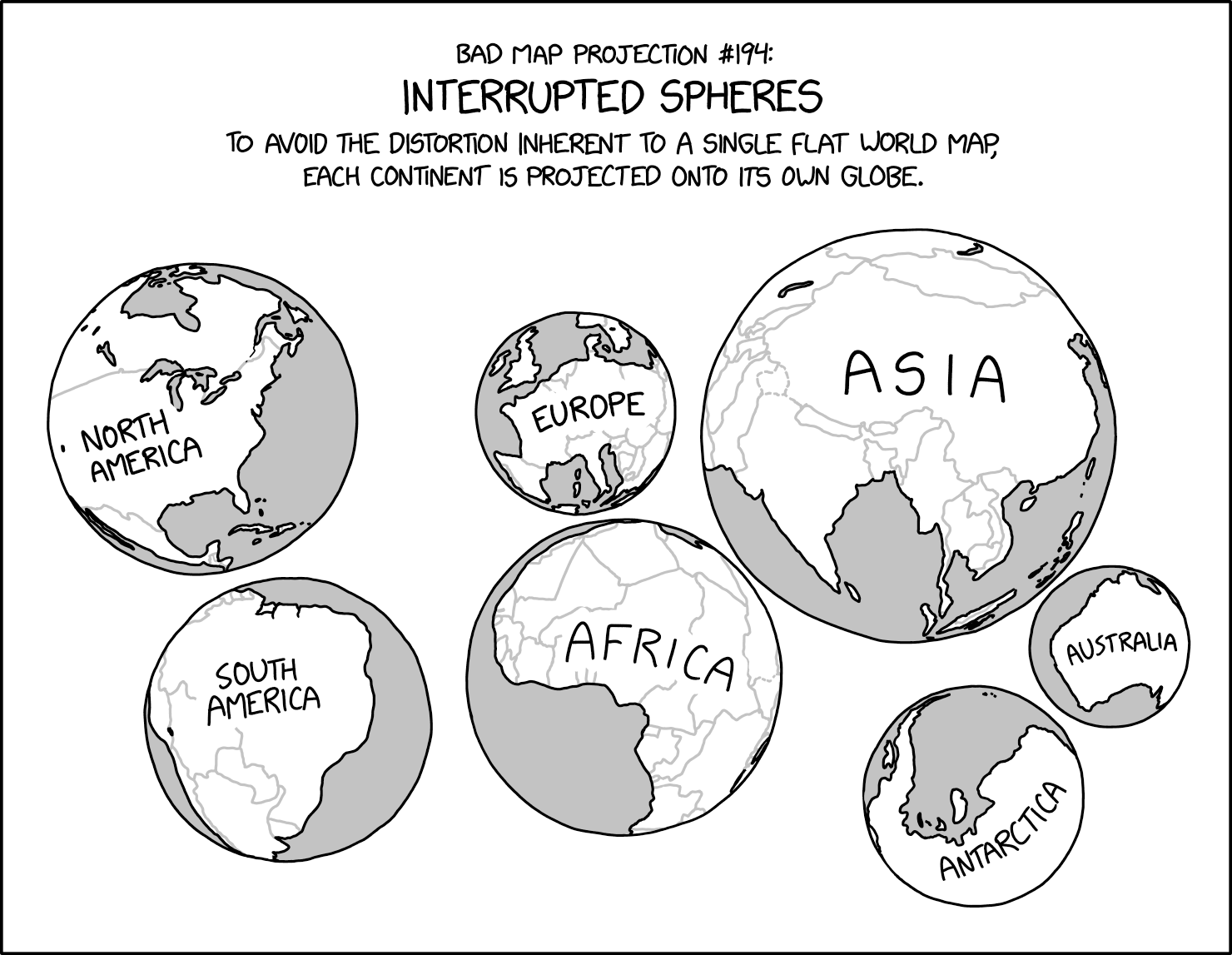
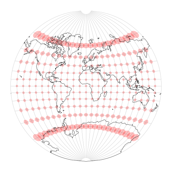
Nine XKCD bad map projections: ranked!
geospatial
R
tutorial
stuff
cartography
xkcd
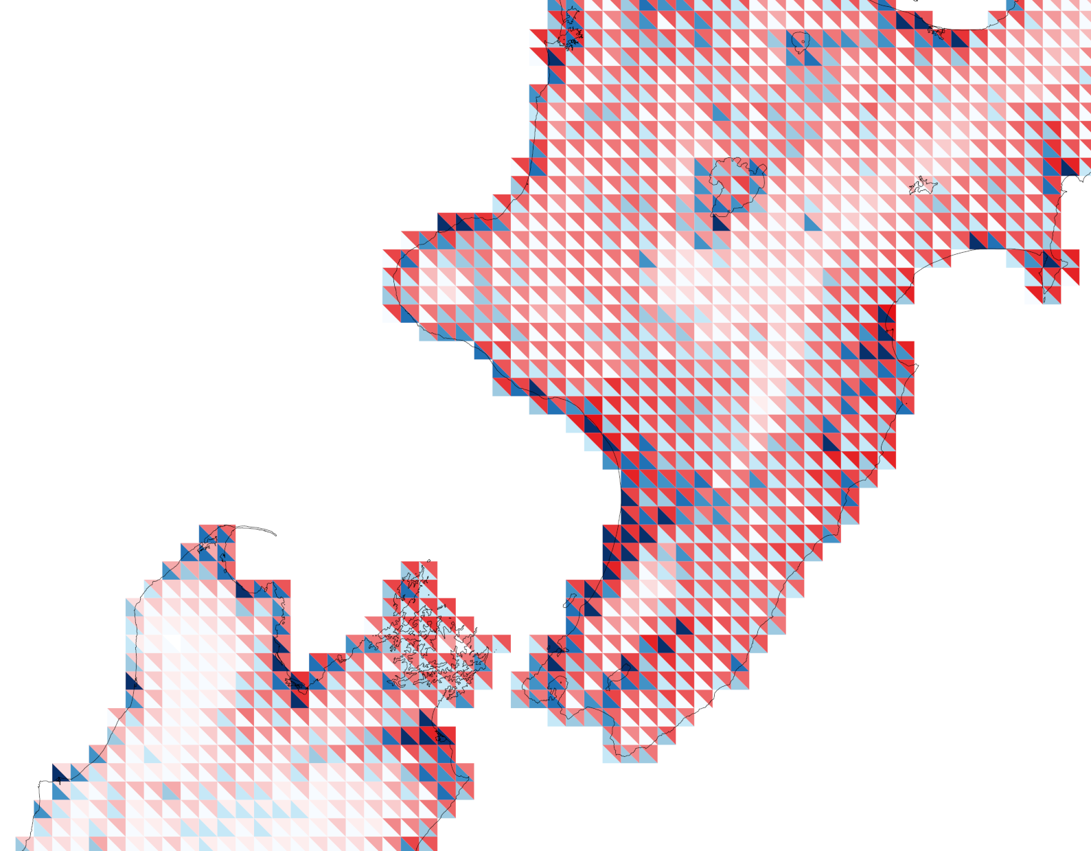
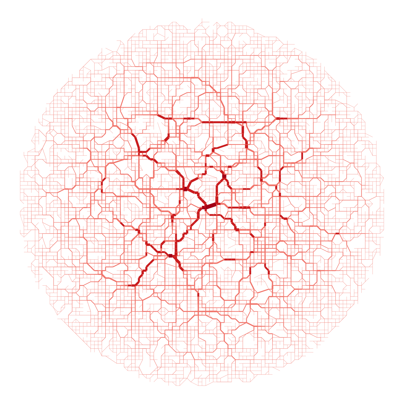
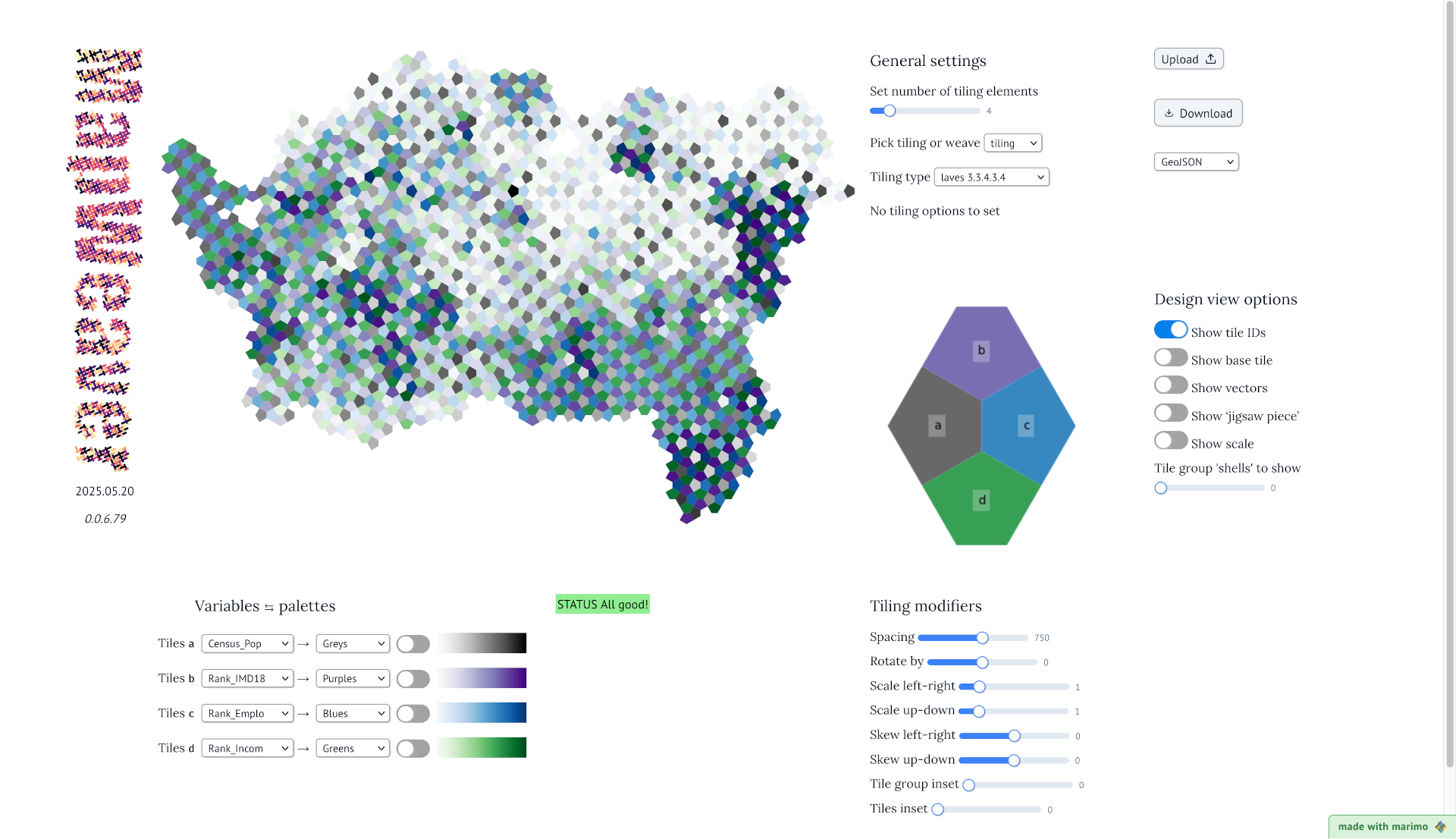
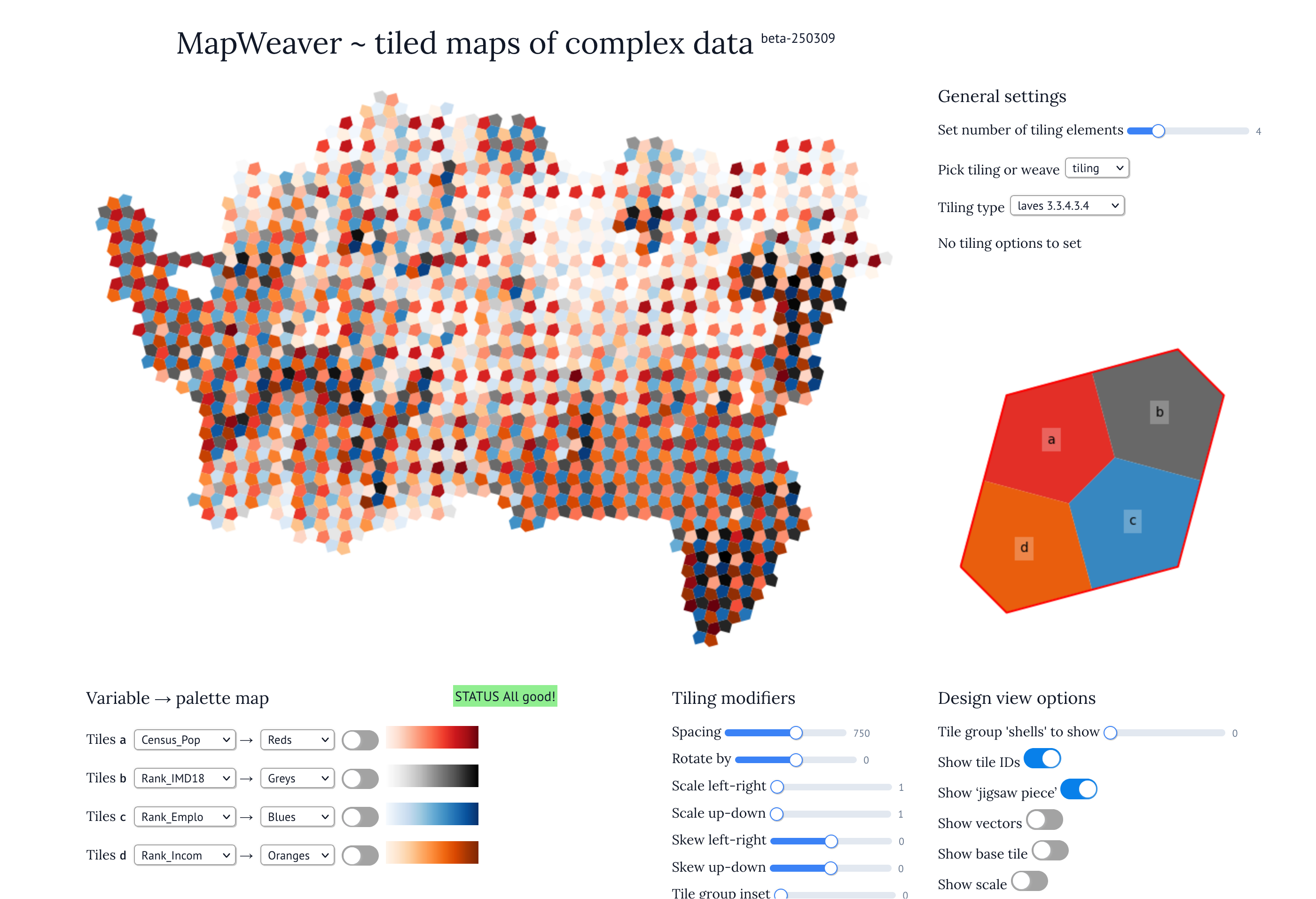
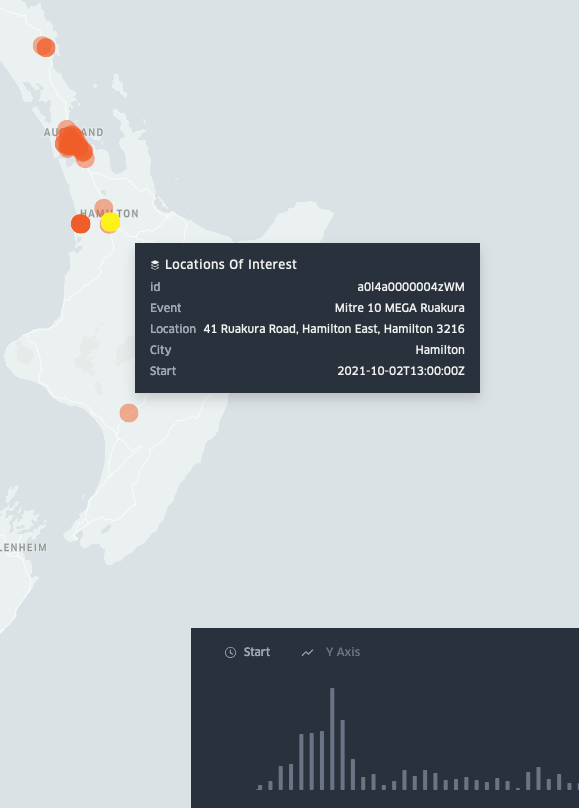
Mostly tiles, but also glyphs
python
cartography
visualization
tiling
aotearoa

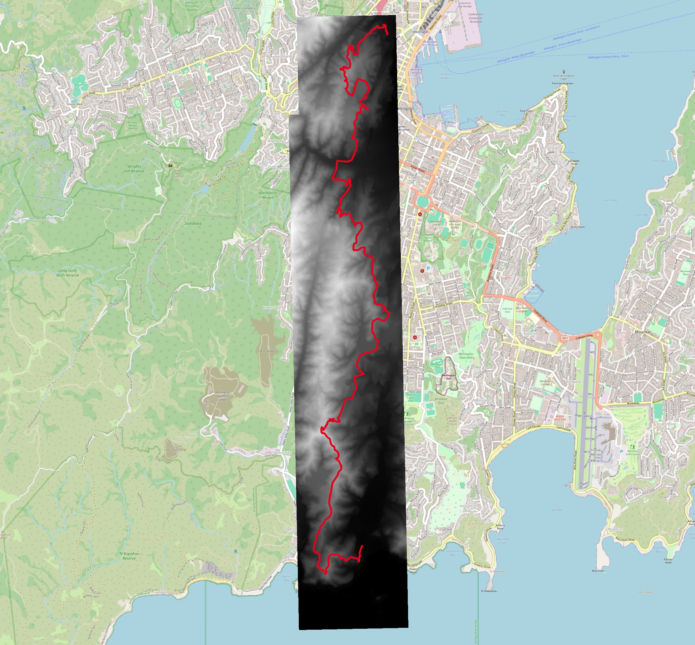
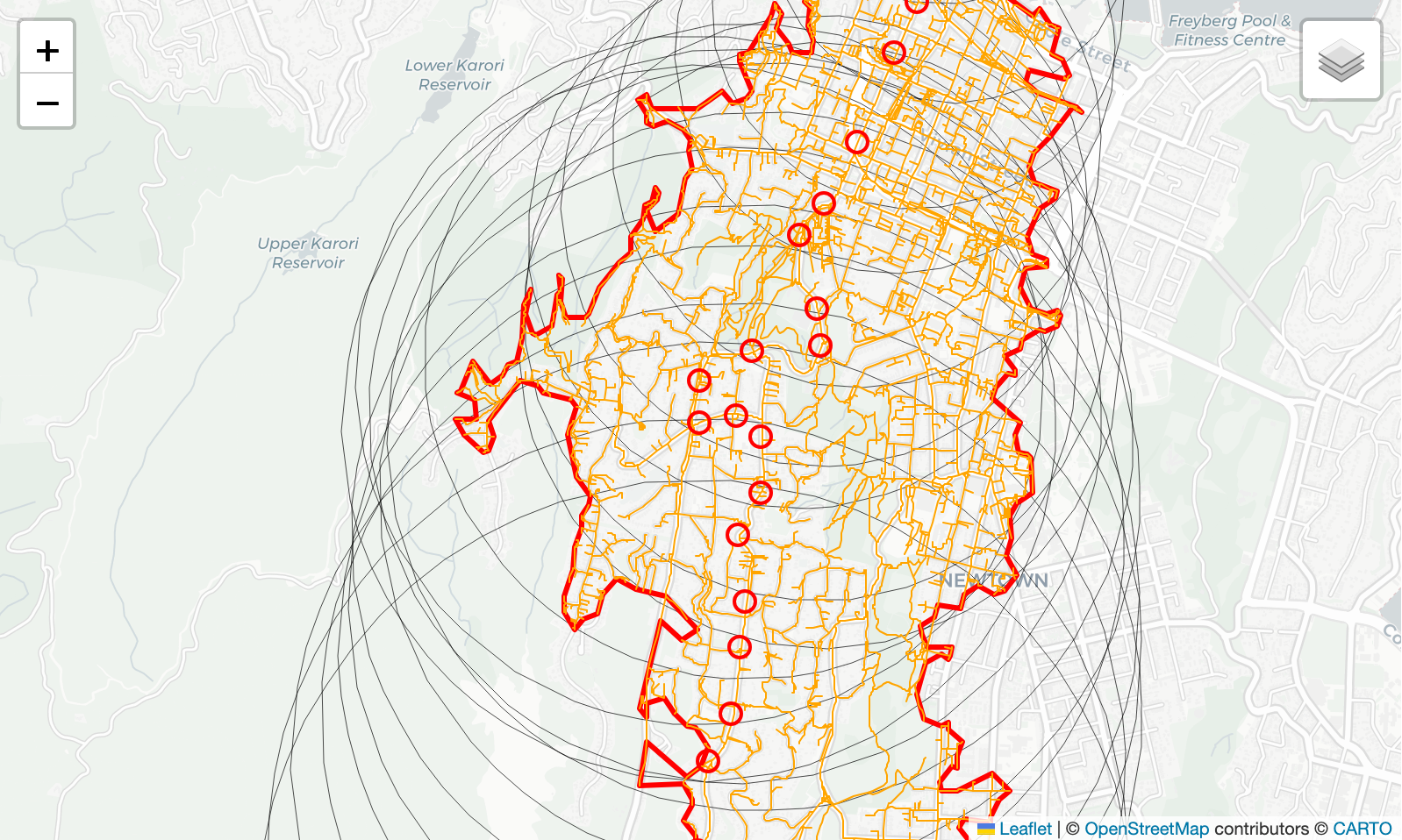
Into the (LiDAR) void
aotearoa
maps
tmap
geospatial
R
tutorial
life

A welcome (re)emergence of systems thinking
complexity
aotearoa
conferences
systems

ALGIM 2024
local government
geospatial
aotearoa
conferences

GeoCart’2024
cartography
geospatial
aotearoa
conferences
time-space
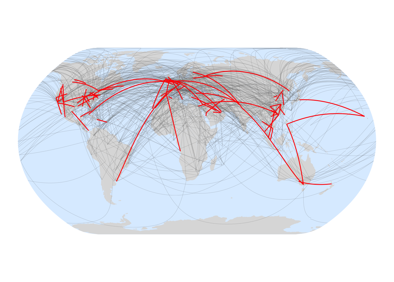
The model zoo
netlogo
books
simulation
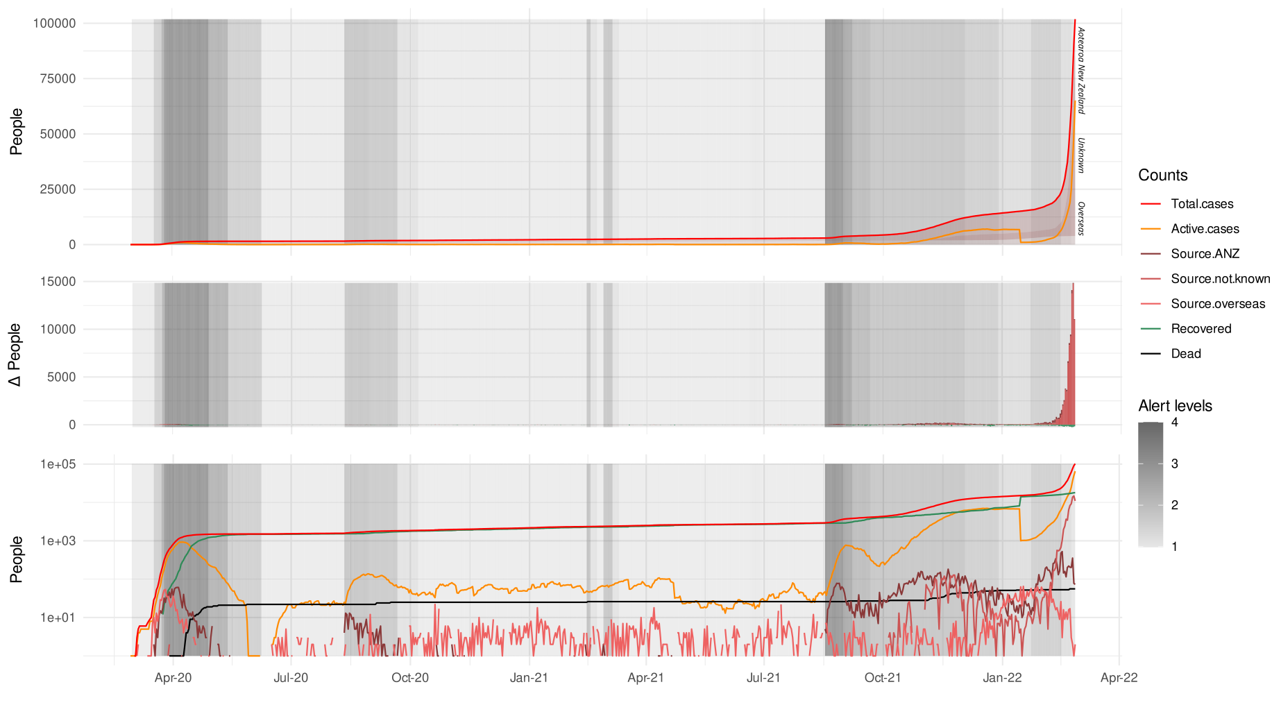
OK COVID, you win
visualization
covid
R
maps

No matching items
![]()