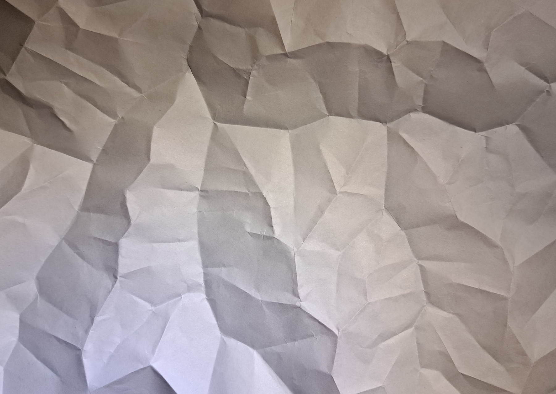
A (carefully) crumpled paper hillshade (yes, it is part of a real landscape).
What happened to the tmapvsggplot2 cage fight?
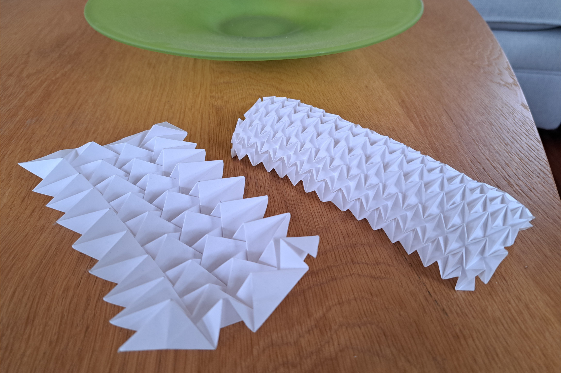
This one doesn’t really fit with my tmapvsggplot2 set up, but it prompted me to look a bit more closely into an idea that has interested me since I first saw this amazing video by Ron Resch one of the pioneers of tessellation-based origami.
I’m a folder (not a designer) of origami, and so this map was an opportunity to explore this idea a bit further.
How I made it
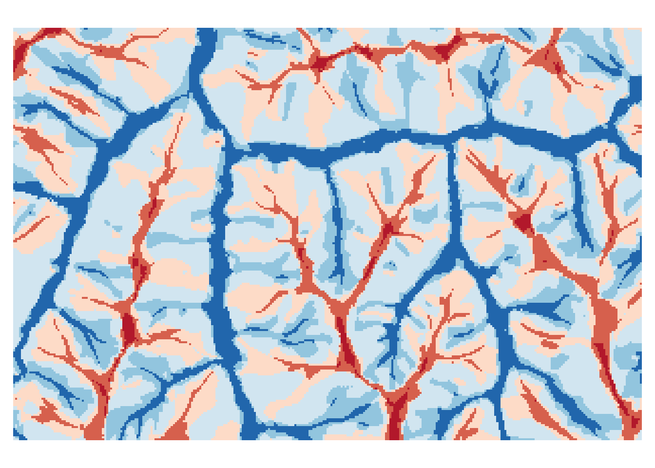
So what I did was to take a DEM, and find valley floors and ridge lines. For this I used the Whitebox Toolsgeomorphons tool. There may be better option but this worked for me. I can demonstrate this in R:
The blue areas in the map are valley floors, the red areas ridge tops. It so happens that in origami, red and blue lines are often used in crease patterns to distinguish mountain folds and valley folds. So pinching the blue linear features into creases and from the reverse side (i.e., through the back of the printed page) pinching the red linear features into creases gives the ‘crumpled’ sheet I want.
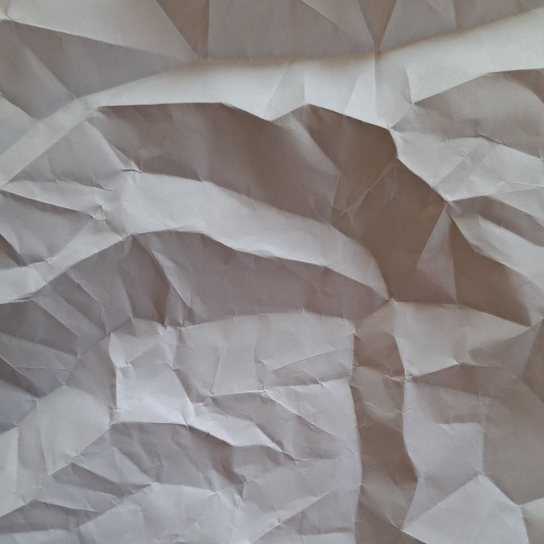
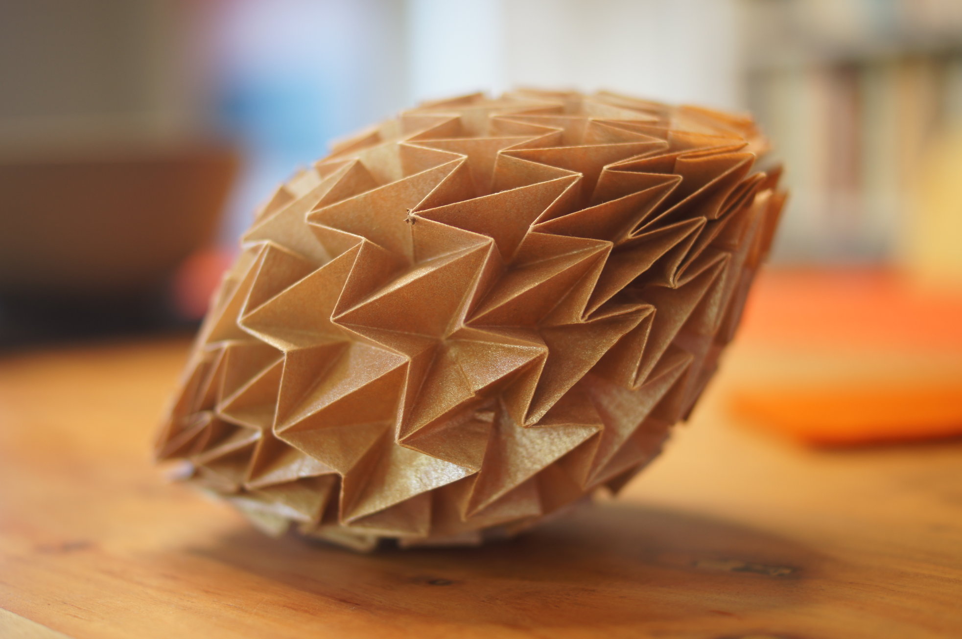
So anyway, I printed the map on a sheet of paper, and then made the folds. Here’s another example.
Thoughts
If I’d thought it through a bit more carefully, I’d have inverted the landscape before printing it (since I am effectively folding it in reverse), but that’s a detail for another time (in cartographic terms, north is not up, but that’s a map for another day…). It also required some care lighting the picture to avoid ‘terrain inversion’, and I’m not even sure it avoids that entirely. It’s very clear in real life which parts of the landscape are ‘up’.
I’ve experimented a little with the approach, and it seems to work better on more highly dissected terrain.